| This is the Montana State, we picked Missoula County becasue population density are mainly located on the west side of the state. Missoula's population is also over 1500. | 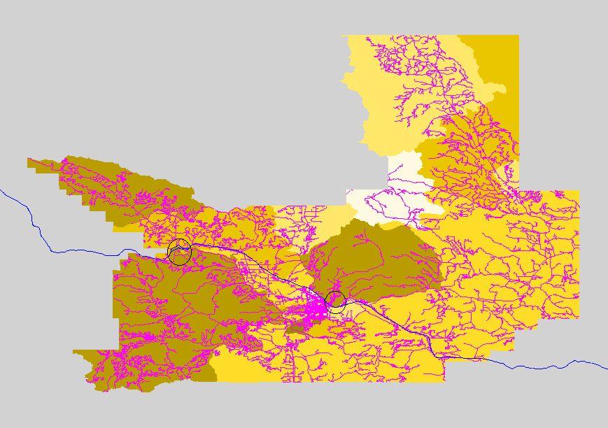 |
| Our measure unit is block group. The red line is I-15. | 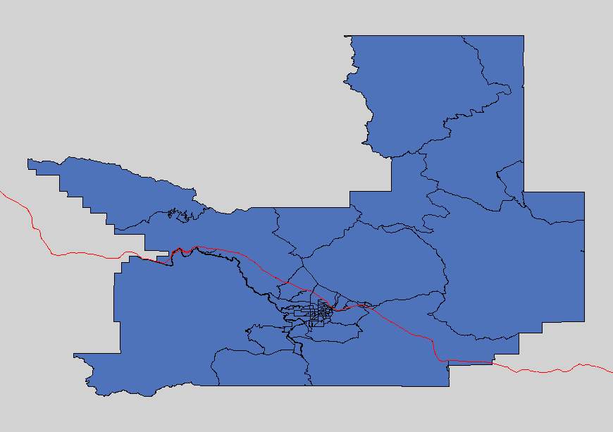 |
| We would need the store to locate near a road or a major highway. Here is the road network for the Missoula county. | 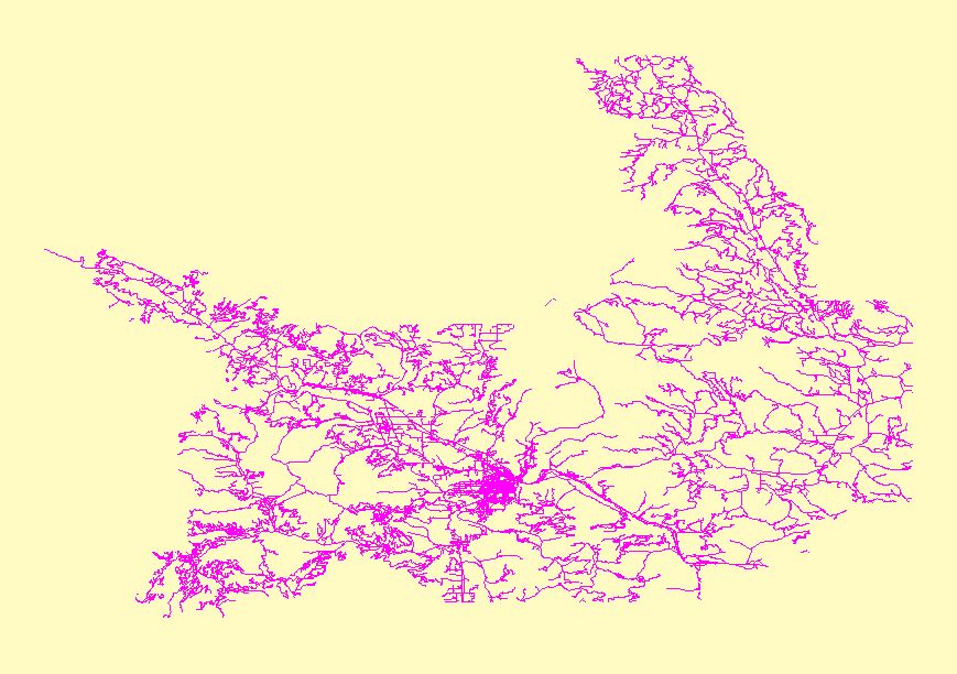 |
| One of our criteria is household income, we have it in a grid form for calcualtion and overlay. | 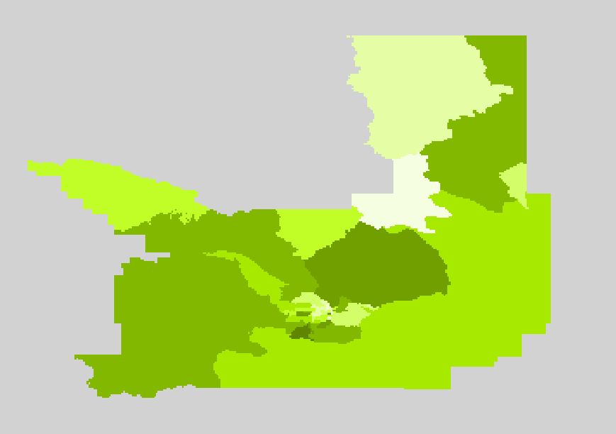 |
| Population is also our criteria. The darker the value the higher the population density. | 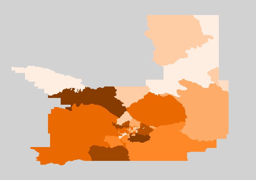 |
| We then buffer the road network with a 200 meters buffer. We want the store to be accessable and near a road with 200 meters. | 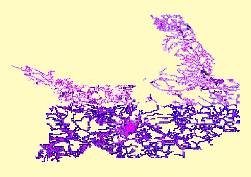 |
| Then we combined that with our population density grid and find the buffer zone located in a high population density area. | 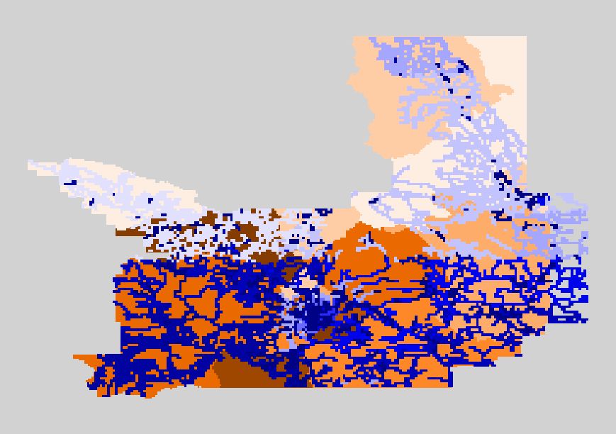 |
| The final result was two possible locations for the retail store. They are both located near the I-15 corridor. | |