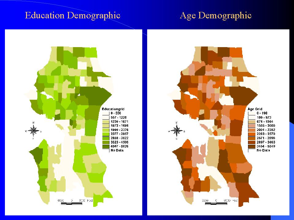
| We are able to use grid analysis for all the five criteria. It worked our nicely. Here are the education demographic grid and age demographic grid. The dark the value the high the sum value for that category. |
|
| Here are the number of family member grid and the household income grid criteria. | 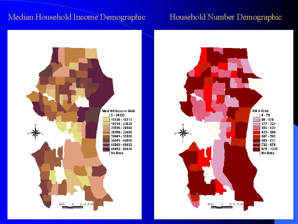 |
| Here is the population density demographic grid that we had problem with using ArcInfo, but it works our just fine in ArcView. It is probably because of the decimal point value that we use of the polygons' value. | 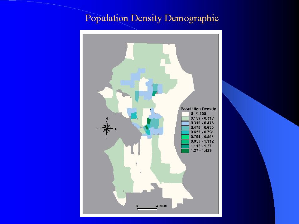 |
| We have also created a buffer around all competition location | 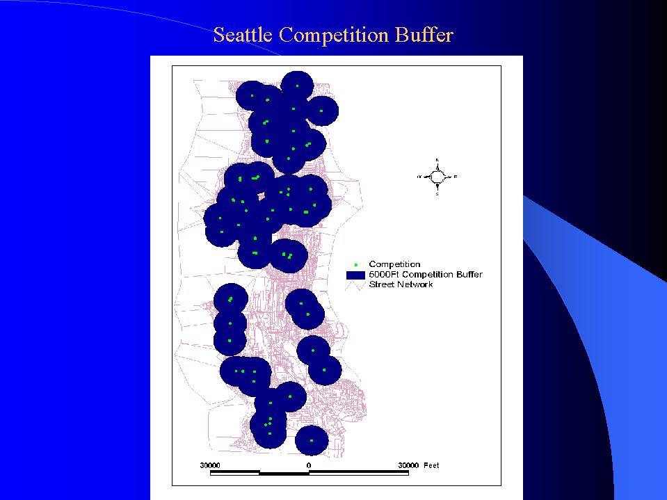 |
| so, finally we overlay all the themes together and use a map calculation method to weight our criteria, we have the result of the optimal location north of Seattle downtown area next to the I-5 corridor. | 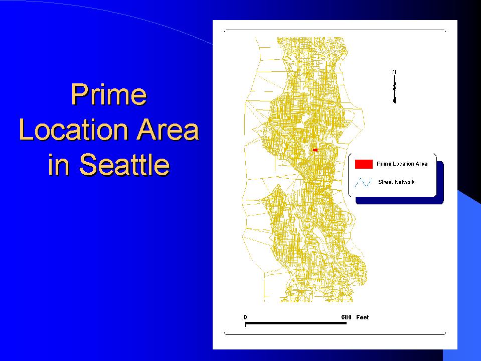 |
| here is the zoom in of our prime location (the boxed area) to locate the warehouse (headquarters) of our online grocery store. This area is mainly residential area, but some land parcel on the left is commercial and light industrial land. We chose the area near the I-5 on ram. | 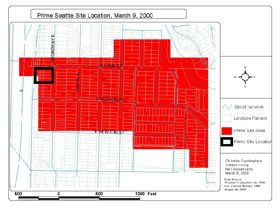 |
| Here is the final result map with the warehouse location and the random location route. | 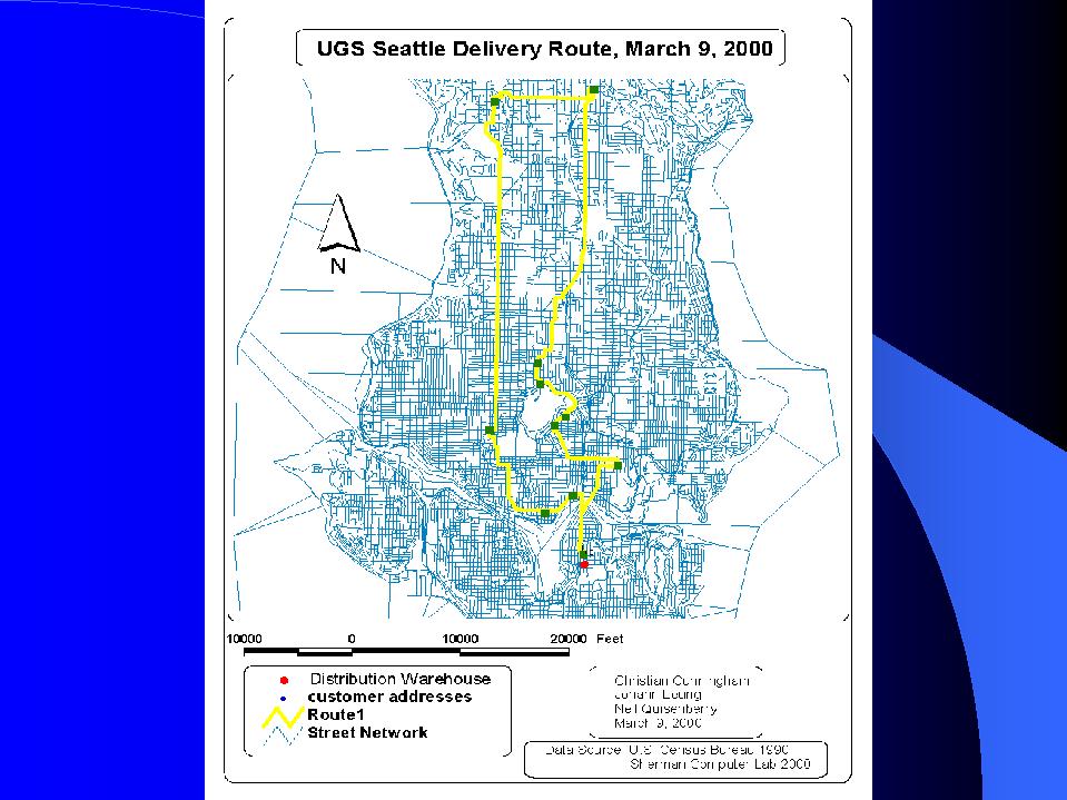 |